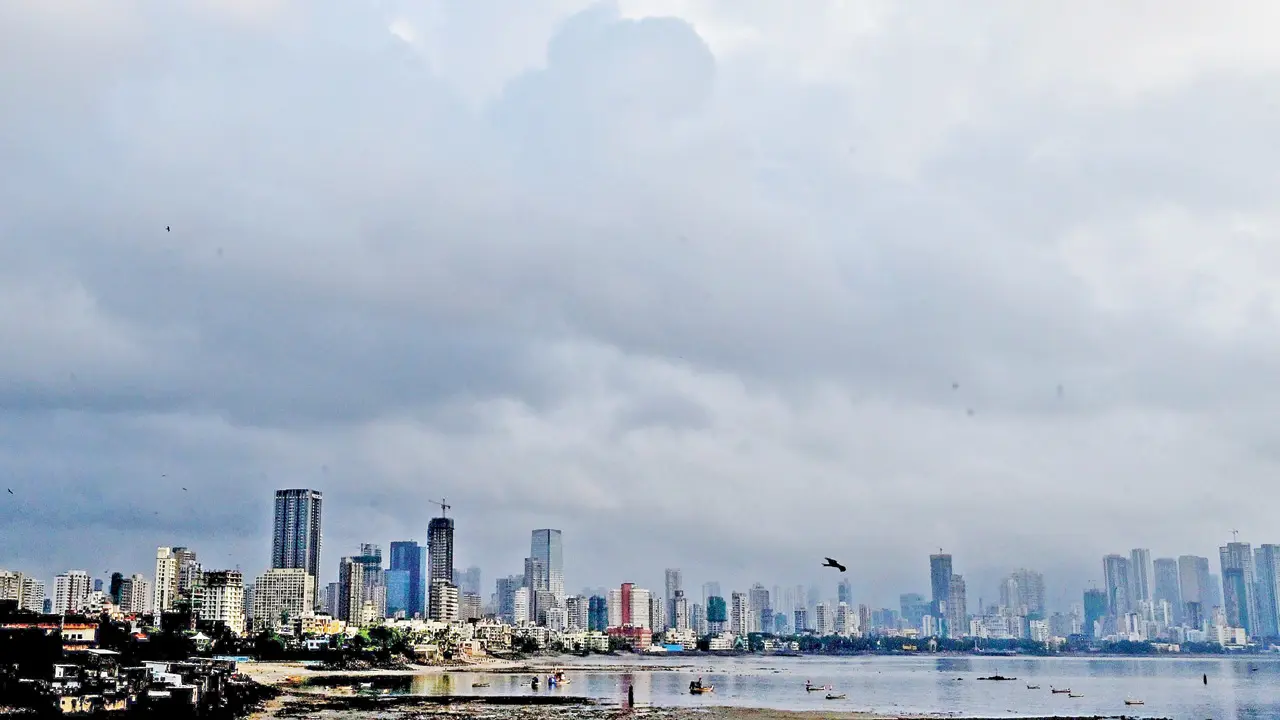
Several parts of Mumbai and the Mumbai Metropolitan Region (MMR) received moderate to heavy rainfall on Sunday, prompting the India Meteorological Department (IMD) to issue a yellow alert for Maharashtra. In its bulletin, the IMD stated, “Heavy rainfall (7–11 cm) has been recorded at isolated places over Saurashtra and Kutch, Konkan and Goa, Madhya Maharashtra, and Assam and Meghalaya.”
Nowcast alerts, issued every three hours, also indicated a yellow alert for coastal Maharashtra throughout Sunday. A green alert has been issued for coastal areas on Monday and Tuesday, while a yellow alert has been placed for Wednesday. The IMD attributed the rainfall activity to multiple weather systems developing simultaneously:
Low-pressure area over Arabian Sea
The low-pressure zone over the northeast and adjoining east-central Arabian Sea moved north-northeastwards and was positioned over the northeast Arabian Sea and surrounding regions at 8.30 am on Sunday. It is expected to continue moving north-northeastwards and weaken within 24 hours starting from 12.30 pm on Sunday.
Cyclonic circulation
Under the influence of an upper-air cyclonic circulation over the South Myanmar coast and adjoining north Andaman Sea, a new low-pressure area formed over the east-central Bay of Bengal and adjoining Myanmar coast at 5.30 am on Sunday. It persisted in the same region till 8.30 am and is likely to move north-northwestwards along and off the Myanmar–Bangladesh coasts over the next 48 hours.
Circulation over Bangladesh
The upper-air cyclonic circulation over north Bangladesh and its neighbourhood lay over central parts of Bangladesh at lower atmospheric levels, with an associated trough extending in the lower troposphere.
Fresh western disturbance
A new Western Disturbance is likely to influence the western Himalayan region starting November 4, 2025. According to IMD forecasts, these combined systems are expected to bring thunderstorms and lightning to the Konkan region, including Mumbai, on Wednesday, November 5.